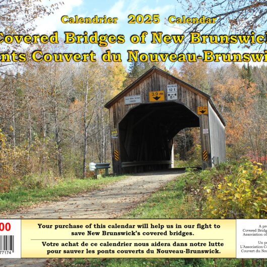
Description
A Guidebook to the Covered Bridges of NB Volume 4 – QUEENS, SUNBURY, NORTHUMBERLAND, AND GLOUCESTER COUNTIES
Four ‘Day Trips’ give directions to the seven covered bridges dedicated to the counties in this guidebook. The geography stretches from south of the St. John River to the shores of Chaleur Bay.
Chapter 1 – Queens County. The Starkey and Burpee Covered Bridges are the two remaining in Queens County. Directions to both the covered bridges in Queens County start from Exit 365 where Route 2 meets Route 10. The alternate direct route to either of the two covered bridges also starts at Exit 365.
Chapter 2 – Sunbury County. The Patrick Owen, Mill Settlement, and Hoyt Station Covered Bridges are the three covered bridges still serving their communities in Sunbury County. All three can be found south of the Town of Oromocto from where our ‘Day Trip’ begins. The alternate direct routes also start from Oromocto.
Chapter 3 – Northumberland County. Directions to the Nelson Hollow Covered Bridge, near Doaktown. The oldest and the last covered bridge in Northumberland County. This bridge can be reached from two different major cities – Miramichi or Fredericton. Though the shorter route starts in Miramichi, directions from cities are included; travelling on Route 8.
Chapter 4 – The lone covered bridge in Gloucester County will be found in the Acadian Historical Village. As in Chapter 3, the directions to this bridge has two optional starting points – Miramichi or Bathurst. Again, directions from both areas are included.
The guide includes some information on each bridge, full colour photos and maps as well as a list of interesting side-trips along the way.
Published by Ray Boucher
Copyright 2017 by Author
ISBN: 978-0-9917771-4-3